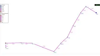
Convert Excel Data to Shapefile with QGIS Software
Let's say as an engineer after a field survey you have your data in Excel but you want to convert your data to shapefile format! Well, it might be a little challenging but that is exactly what we are going to learn in this tutorial! And we'll see how to achieve that with the help of QGIS Software.
Not only that, we will also learn how to import CSV data into QGIS and how to work with attribute tables!
Watch until the end and don't forget to like and share with your friends if you find this video informative!
Regards
Eng. Lodrick Thomas
@hydroinformatics Academy
=====
TIMESTAMPS
=====
00:00 Introduction
00:18 Import CSV data into QGIS
04:12 Export imported CSV data into ESRI Shapefile
06:34 Outro
==============
FOLLOW HYDROINFORMATICS ACADEMY ON SOCIAL MEDIA
==============
Telegram Channel: https://t.me/hydroinformaticsacademy
Linkedin Page: / hydroinformaticsacademy
Facebook Page: / hydroinformaticsacademy
Want to support my channel? Here's Patreon Link: / hydroinformaticsacademy
DISCLAIMER
=======
This is not engineering advice. Everything here is for informational and educational purposes only!


