Historic Flooding from Hurricane Milton: Aerial Mission to Document Devastation
Hurricane Milton unleashed unprecedented rainfall across Southwest Florida, with some areas receiving up to 15 inches—exceeding the district’s 100-year storm model thresholds.
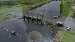
In response, the Southwest Florida Water Management District launched a two-day aerial mission to document the severe flooding. Led by staff engineer Anne Wolfgang, the team is photographing and GPS-linking flood levels across impacted regions, including the Anclote and Alafia rivers, which saw record flooding levels, with some areas not experiencing such levels in over a century.
This mission allows survey teams to later verify water levels and integrate findings into watershed models, aiding in future flood risk reduction. By covering a vast area quickly, the aerial mission saves valuable time and resources, furthering the district’s commitment to public safety.
00:00 Intro
00:12 Record rainfall
00:24 Flooding documentation
00:42 Documentation process
00:56 Anclote River
01:04 Documentation areas
01:25 Identifying areas of high risk
01:30 How we use the data
01:38 Widespread flooding
02:05 Outro


