Global weather April - June 2024
We hope you enjoy our Q2 2024 global weather!
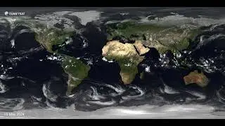
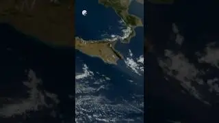
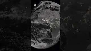
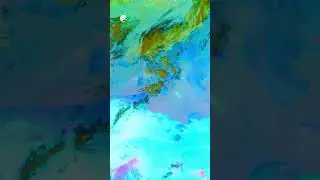
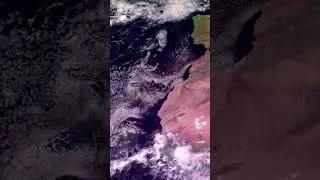
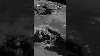
Our popular global weather series gives a glimpse into how the major weather events across the planet looked from space.
Major storms are labelled from light yellow to red depending on their intensity.
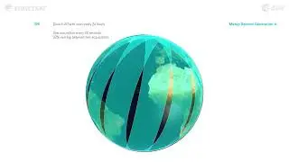
This visualisation displays infrared cloud imagery from the geostationary satellites of EUMETSAT, the National Ocean and Atmospheric Administration (NOAA) in the US, the China Meteorological Administration (CMA) and the Japan Meteorological Agency (JMA). The cloud imagery is superimposed over NASA's 'Blue Marble Next Generation' ground maps and changes with the seasons.
Produced by EUMETSAT’s digital media team and global cloud imagery kindly provided by Météo-France. Merging satellite data with our partners, we are able to get a comprehensive view of the entire planet.
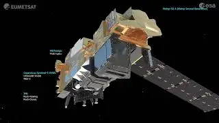
For more information on the satellites we operate and what we measure from space, visit the EUMETSAT website at: eumetsat.int
Make sure you subscribe so you don't miss out on future videos!


![Fitness Product Sale Video Template | Typito Fitness Video Templates [Editable]](https://pics.providosiki.ru/watch/C9-Q1WwkFzE)


